Leon Schmitt · 23 October 2026
How Upper Atmospheric Conditions Shape Drone Show Scheduling at Nighttime Festivals
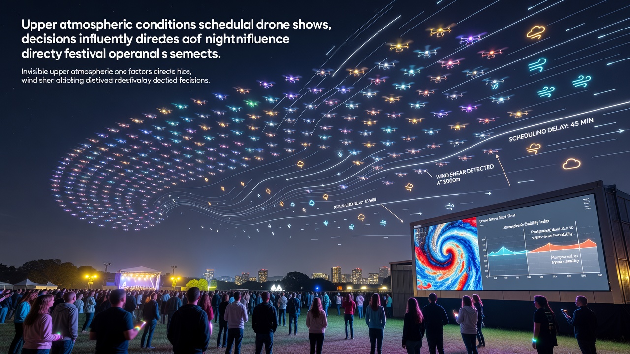
Upper atmospheric conditions play a direct role in determining when drone shows can proceed during nighttime segments of festivals, since wind patterns, temperature gradients, and turbulence at altitudes above 1,000 meters influence drone stability even when performances occur closer to the ground. Organizers monitor data from weather balloons and satellite feeds to assess jet stream positions and wind shear layers that shift rapidly after sunset, and these factors often force adjustments to flight windows that extend from 8 p.m. to midnight at many events. Data collected by meteorological agencies shows that nighttime cooling creates inversion layers which trap moisture and alter air density, affecting battery performance and GPS signal reliability for formations involving dozens or hundreds of units.
Key Atmospheric Variables at Play
Jet streams at 9,000 to 12,000 meters generate downward-propagating turbulence that reaches drone operating heights of 50 to 150 meters, and forecasters track these movements using models from the National Oceanic and Atmospheric Administration to predict safe intervals. Temperature drops of 2 to 4 degrees Celsius per 300 meters of altitude create density changes that reduce lift efficiency, while sudden wind shifts of 15 kilometers per hour or more can push drones outside designated geofenced zones during synchronized routines. Studies from research institutions indicate that humidity levels in the upper troposphere contribute to ice crystal formation on propellers when temperatures fall below -10 degrees Celsius, a condition more common in late autumn schedules.
Effects on Nighttime Operations
Festival planners integrate upper air soundings taken at 6 p.m. local time to calculate launch viability, because surface calm does not guarantee smooth conditions aloft where crosswinds can exceed 25 kilometers per hour. Battery drain accelerates under higher air density variations, cutting flight times by 10 to 20 percent according to flight logs compiled during multi-day events in 2024 and 2025. Visibility for operators monitoring live feeds also decreases when upper-level clouds thicken and reduce ambient light reflection, prompting teams to shorten sequences or switch to backup lighting protocols.
Scheduling Adjustments and Data Integration
Coordinators review vertical wind profiles every two hours during festival runs, and they delay or cancel segments when forecasts show wind shear exceeding 10 meters per second per 100 meters of altitude change. In October 2026 several major nighttime gatherings plan to incorporate real-time feeds from the European Organisation for the Exploitation of Meteorological Satellites, which supply updated tropopause height data that helps refine no-fly thresholds. Software platforms cross-reference these readings with drone telemetry to generate go or no-go decisions, and historical records from events in Australia and Canada demonstrate that early-evening cancellations drop by 30 percent when upper air data enters the decision matrix at least four hours ahead.
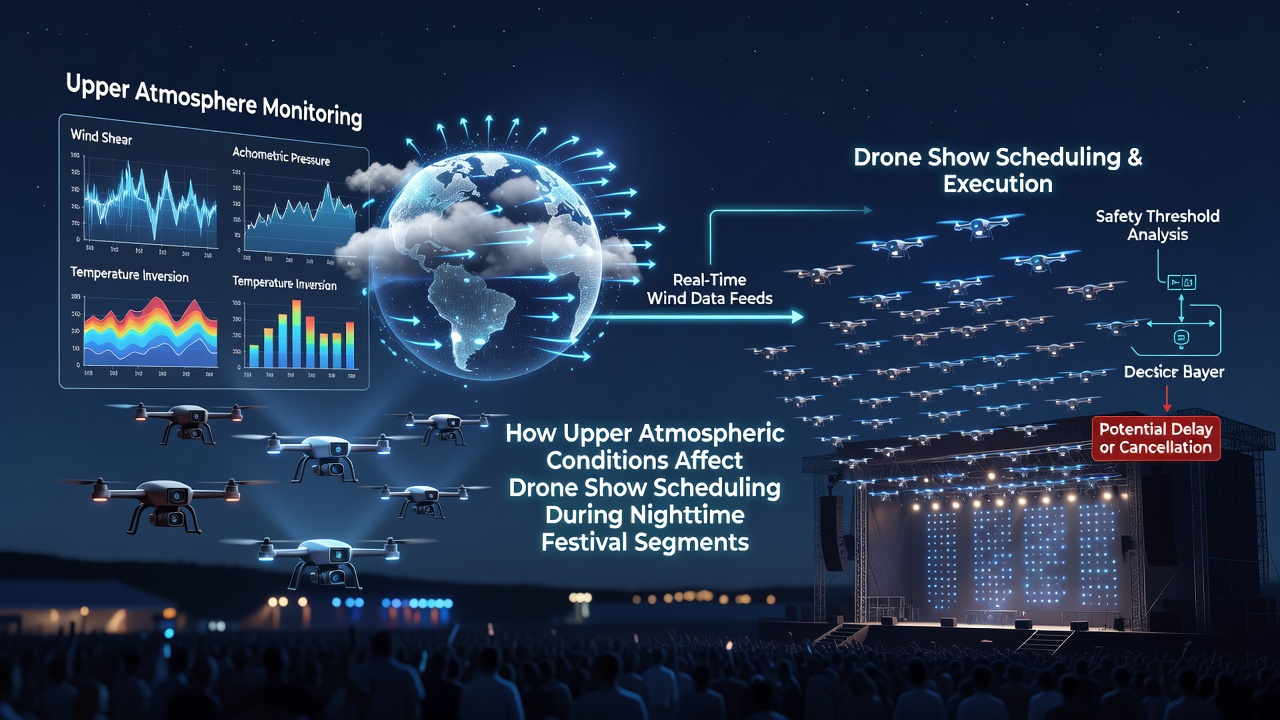
Take one production company that adjusted its October schedule after upper-level charts revealed an approaching trough, moving the entire drone segment two hours earlier to avoid forecast turbulence. Such shifts require coordination with sound stages, lighting crews, and local aviation authorities, yet they prevent equipment loss and maintain audience safety margins. Regulatory bodies in multiple regions now require submission of upper air assessments alongside standard surface weather reports for permits covering shows above 50 drones.
Regional Examples and Monitoring Practices
Events in the Pacific Northwest have documented cases where katabatic winds descending from mountain ranges interacted with upper-level flows, creating rotor clouds at 800 meters that forced last-minute groundings. In contrast, operators in flat inland areas rely more on temperature inversion strength, since clear nights amplify radiative cooling and stabilize lower layers while leaving higher winds unaffected. Data from the Bureau of Meteorology in Australia reveals that drone shows scheduled between 9 p.m. and 11 p.m. experience fewer interruptions when inversion layers sit below 600 meters, a pattern repeated across multiple festival seasons.
Technicians install additional anemometers on tethered balloons at 200 meters to supplement official soundings, providing localized readings that capture micro-scale eddies missed by regional models. These supplementary measurements feed into decision trees that weigh battery temperature against projected wind gusts, and they have become standard at festivals expecting more than 100,000 attendees. The process keeps sequences aligned with safety standards while preserving visual impact for spectators.
Conclusion
Upper atmospheric monitoring has become a required component of nighttime drone show planning because it supplies the predictive lead time needed to protect equipment and maintain schedules across varying festival environments. Continued integration of satellite and balloon data supports more precise timing, and events scheduled for October 2026 will test expanded use of these tools across additional regions. Organizers who apply consistent analysis reduce operational disruptions and align performances with actual atmospheric windows rather than surface observations alone.